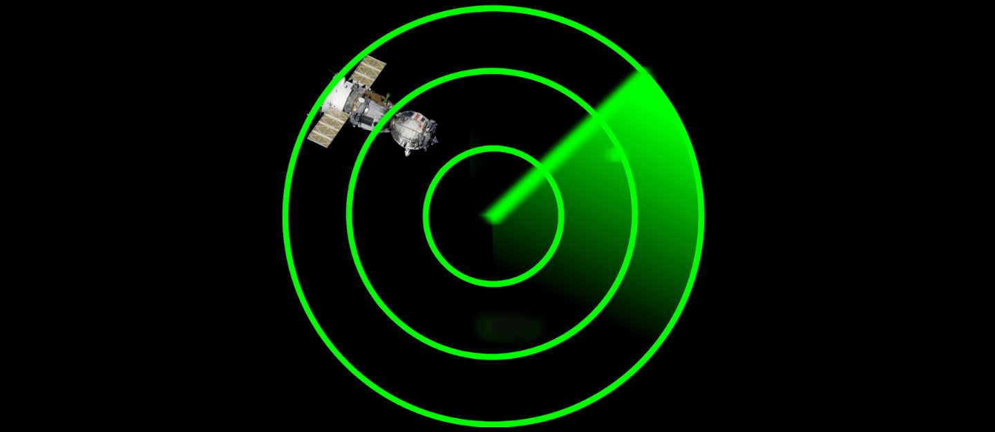
Satellite tracking is an exciting part of amateur radio and space communications. Many satellites pass over your location every day, and some carry amateur radio payloads or weather instruments. To track them accurately, you need to know their current position in orbit. This is done using orbital elements called Two-Line Elements (TLEs).
TLEs provide information about a satellite’s orbit, which software uses to predict its location in the sky. With this data, you can determine when a satellite will rise above the horizon, its maximum elevation, and when it will set. Knowing this helps you plan contacts, capture images, or collect telemetry.
Understanding the basic terms is important before diving into software. The azimuth is the compass direction from which the satellite appears, while elevation describes its angle above the horizon. Pass predictions use both values to guide your antenna or simply help you follow the satellite visually.
Additionally, Doppler shift occurs when the satellite moves toward or away from you, causing its signal frequency to change. Tracking software automatically calculates these shifts so you can adjust frequencies during a pass.
Choosing the Right Free Satellite Tracking Software
Several excellent free programs make satellite tracking accessible to everyone. Many are cross-platform and run on Windows, Mac, or Linux. One popular choice is GPredict, which provides real-time tracking, Doppler shift calculation, and pass prediction. It is open-source and updated regularly with new satellite data. Another option is Orbitron, a Windows-based program known for its clean interface and easy configuration. It offers voice announcements, customizable views, and a variety of display modes.
For those who prefer web-based solutions, N2YO and Heavens Above allow you to track satellites directly from a browser without installing anything. These tools are perfect for mobile devices or quick checks while you are away from your radio station. Many tracking apps for smartphones also offer real-time notifications, so you never miss a good pass. Choosing software depends on your goals and operating style, but starting with one of these free tools will cover most needs.
Installing and Setting Up GPredict
GPredict is a strong choice for beginners and experienced operators alike. To install it, download the latest version from its official page or your operating system’s package manager. After installation, open the program and select your location. Accurate location data is essential for precise pass predictions. You can either enter your latitude and longitude manually or select a nearby city from the built-in database.
Next, update the satellite database. GPredict uses TLE files provided by organizations like Celestrak and AMSAT. Click the update button, and the program will automatically download the latest data. Once this is complete, select the satellites you wish to track. Many amateur radio satellites, weather satellites, and the International Space Station are included by default. Organize them into groups for easier tracking, such as “Ham Sats” or “Weather Sats.”
Understanding the Interface and Features
The main GPredict window displays a map view showing the current positions of your selected satellites. A separate module provides detailed information about the next passes over your location. This includes start and end times, maximum elevation, and duration. When you see a high elevation pass, it usually provides the best signal strength and the longest contact window.
As the satellite approaches, GPredict continuously updates its position in real time. The program also displays Doppler shift corrections for both uplink and downlink frequencies. If you connect it to your radio via CAT control, GPredict can automatically adjust the frequency during the pass. This feature is very helpful for satellites moving quickly across the sky, as the frequency drift can be significant.
Tracking and Making First Observations
Before attempting radio communication, start by visually tracking satellites. The International Space Station and many large satellites are bright enough to see with the naked eye under dark skies. GPredict will show the exact direction and time of appearance, making it easier to spot them. Using a simple handheld antenna, you can practice pointing and following the predicted path.
Once you are comfortable, try listening for signals from amateur radio satellites. Many transmit beacon signals that are easy to identify. Plan your session by selecting a pass with a high maximum elevation and prepare your radio and antenna ahead of time. As the pass begins, monitor the frequency and adjust your antenna’s direction as needed. The more you practice, the better you will become at following fast-moving satellites.
Keeping Satellite Data Updated
Satellite orbits change regularly, so keeping your TLE files updated is crucial. Most tracking software includes automatic updates, but you can also download TLE files manually from trusted sources. Updating once or twice per week ensures your pass predictions remain accurate. If you notice significant timing errors, update immediately, as older data may cause incorrect tracking.
Expanding Your Tracking Station
As you gain experience, you can expand your tracking capabilities. Adding a computer-controlled rotator allows your antenna to automatically follow satellites. GPredict and other free software can interface with these systems for fully automated tracking. You can also integrate SDR receivers to record passes and decode digital signals. These upgrades turn a basic station into a powerful tool for exploring space communications.
Satellite Tracking
Satellite Tracking uses free software opens the door to exciting projects in amateur radio and space observation. By understanding basic concepts like azimuth, elevation, and Doppler shift, you can make sense of the data these programs provide. Starting with free tools such as GPredict or Orbitron gives you accurate pass predictions and real-time tracking without extra cost.
As your skills grow, you can add hardware and experiment with advanced techniques. With practice and curiosity, you will soon be following satellites confidently and making the most of every pass.
Please consider Donating to help support this channel