
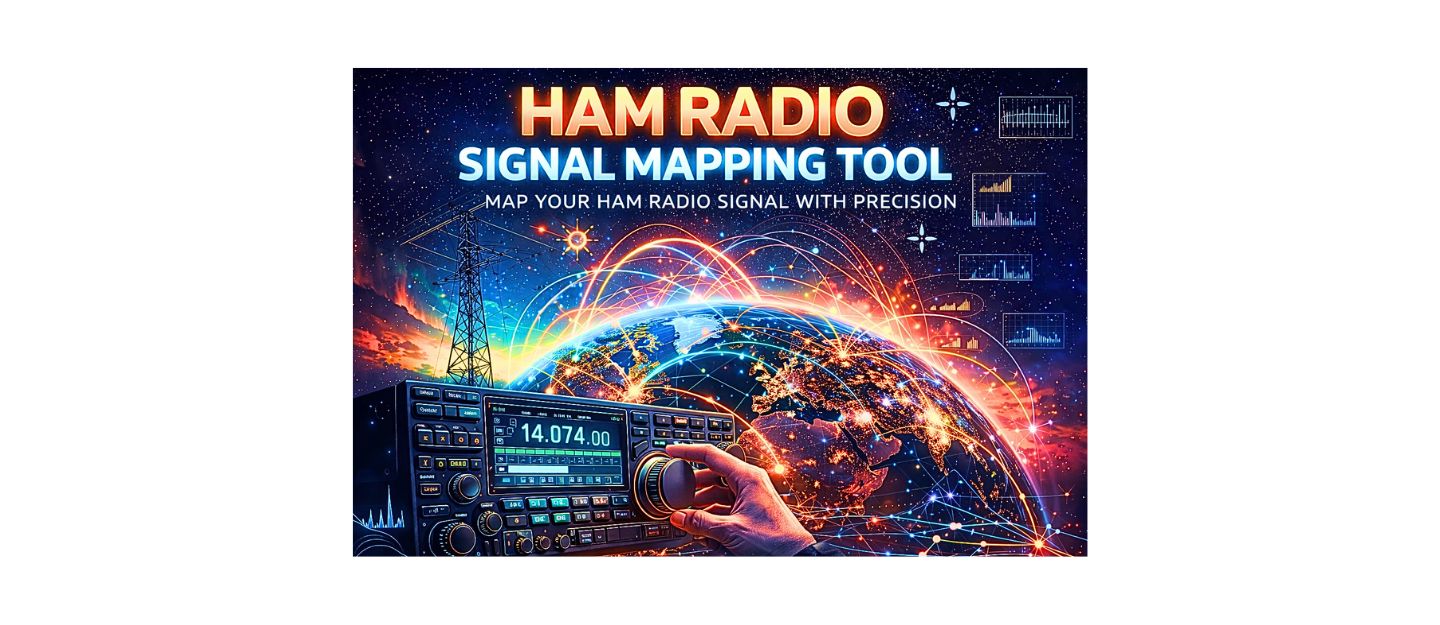
What Is a Ham Radio Signal Mapping Tool
A ham radio signal mapping tool estimates how far your radio signal can travel based on power, antenna height, frequency band, and real-world environmental conditions. Unlike basic range calculators, this tool accounts for terrain, line-of-sight limitations, and HF propagation factors such as solar flux and geomagnetic activity.
Operators use signal mapping tools to predict coverage, optimize antenna placement, and determine whether communication is possible between two locations.
Ham Shack Reviews
Ham Radio Signal Mapping Tool
What These Results Mean in Real Operation
The results shown by this tool represent realistic operating conditions rather than theoretical maximum range. VHF and UHF signals are primarily limited by line-of-sight, meaning antenna height and terrain play a major role in coverage distance.
HF signals behave differently and rely on ionospheric reflection. Solar Flux Index (SFI), K-index, and A-index directly impact how far signals can travel. Higher solar activity generally improves long-distance communication, while geomagnetic disturbances reduce signal reliability.
How to Use the Signal Mapping Tool
- Enter your transmit power in watts
- Set your antenna height above ground
- Select the operating band (VHF, UHF, or HF)
- Choose your environment (urban, suburban, rural, or elevated terrain)
- Adjust solar conditions if using HF
- Click analyze to visualize your signal coverage
This process helps simulate real-world communication performance before transmitting.
What Affects Ham Radio Signal Range
Several factors influence how far a ham radio signal can travel:
- Transmitter power output
- Antenna height and efficiency
- Frequency band (HF vs VHF vs UHF)
- Terrain and obstructions
- Urban density and signal reflection
- Solar activity and ionospheric conditions
Understanding these variables is essential for predicting communication success. Understanding how frequency impacts propagation is critical, which is why many operators compare performance across bands in this guide on 2 meter and 70 cm operation.
Frequently Asked Questions About Signal Mapping
How accurate is a ham radio signal mapping tool?
It provides realistic estimates based on known propagation principles, but real-world conditions such as interference and antenna quality can affect performance.
Does solar activity affect all bands?
No. Solar activity mainly affects HF bands. VHF and UHF are mostly unaffected by solar flux but can be impacted by atmospheric conditions.
Why does UHF sometimes perform better in cities?
UHF signals reflect off buildings, allowing them to reach areas that are not in direct line-of-sight.
Can this tool predict repeater coverage?
It can estimate coverage range, but repeater performance depends on elevation, power, and antenna systems.
Please consider Donating to help support this channel